
The Colorado Department of Transportation sent out an alert Thursday morning announcing that Independence Pass is expected to open for the 2022 season, weather permitting.
“CO 82 Independence Pass is projected to open on Thursday, May 26, weather permitting,” CDOT announced.
Independence pass is located on Colorado Highway 82, midway between Aspen and Twin Lakes. The summit is 18 miles west of Twin Lakes and 19 miles east of Aspen.
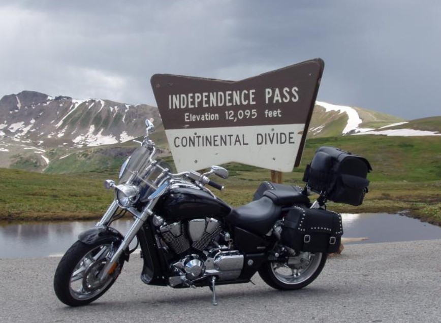
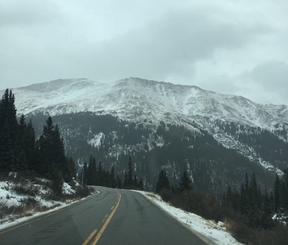
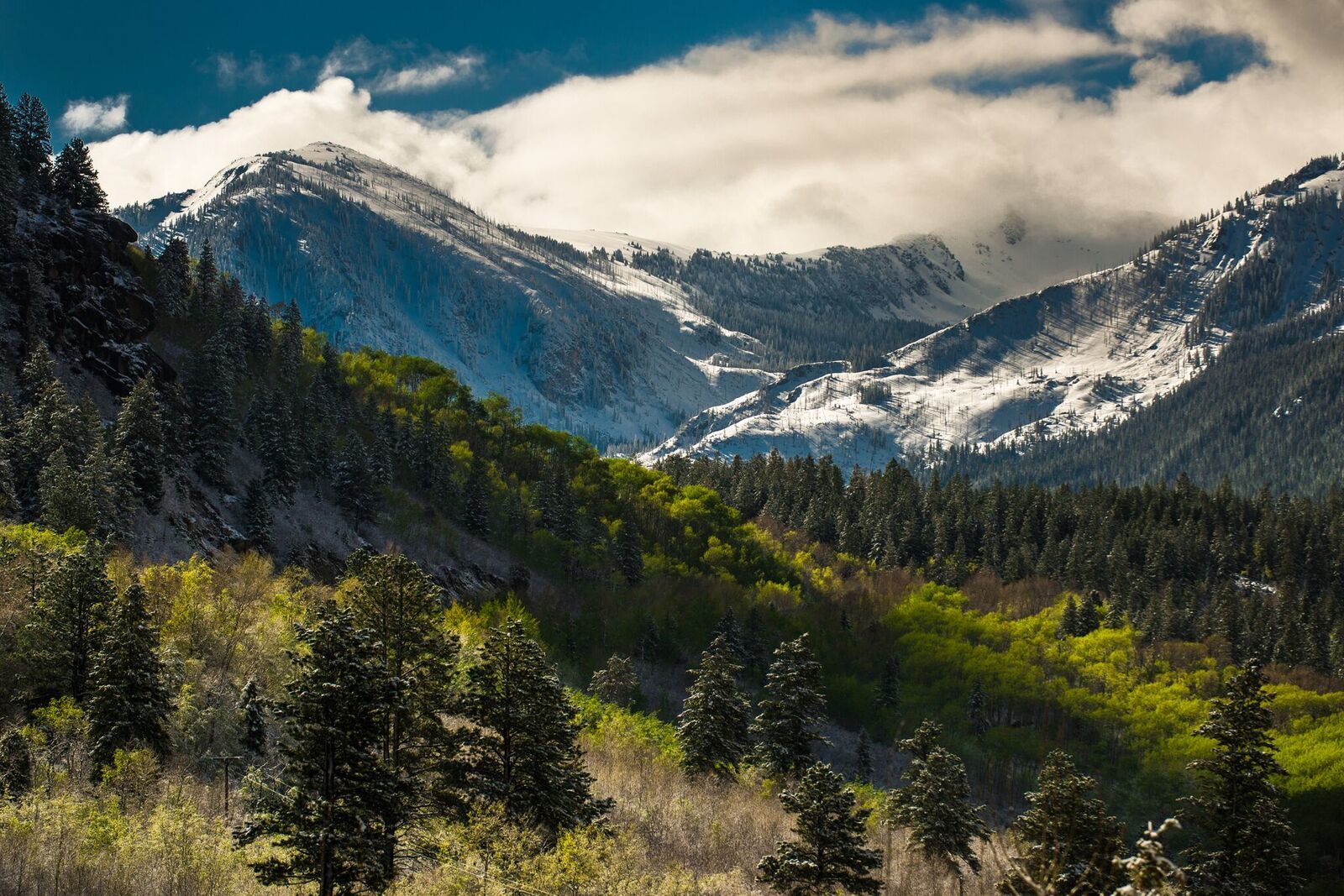
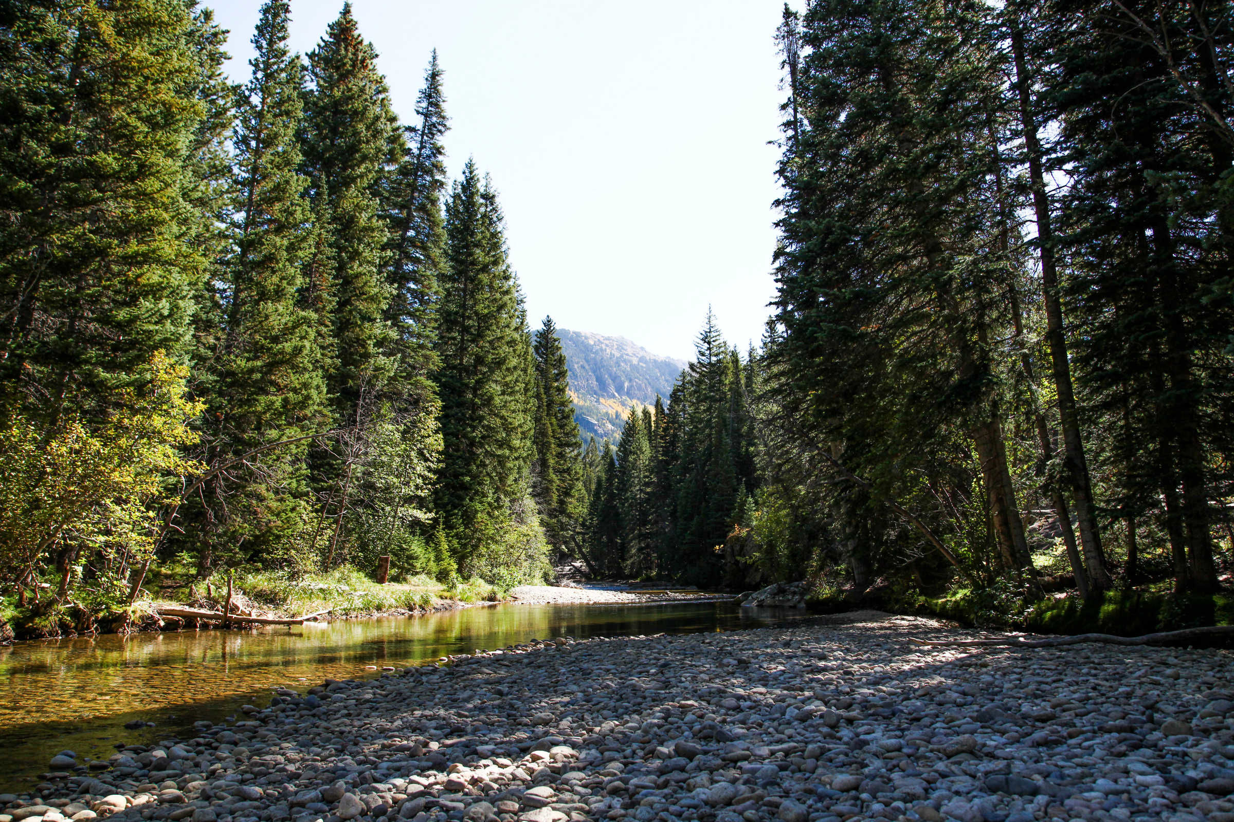
Independence Pass, part of Colorado State Highway 82, passes over the Continental Divide between Leadville and Aspen, Colorado. The summit at the Continental Divide is 12,095 feet above sea level. It is about 32 miles long and takes anywhere from 45 minutes to an hour-and-a-half with stops along the way to enjoy the scenic views. It twists around stunning groves of aspen trees and hugs the Roaring Fork River. The road is steep, narrow, and twisty with only a few guardrails. It is completely safe, but drivers must follow the speed limit and drive with caution. No commercial motor vehicles, camper trailers, recreational or similar vehicles are allowed. A 35-foot length restriction is in place, For alternate routes on how to get to Aspen click here.
Running on Colorado 82 from Aspen to Twin Lakes, Independence Pass is twisty and often narrow, with only one lane in some places. There are numerous campgrounds and trailheads along the way as well as a ghost town. East of Twin Lakes Colorado 82 ends and US 24 will take you north to Leadville or south to Salida.
This is one of several roads in Colorado that close for the winter. When it closes and when it opens depends on the amount of snowfall and how soon/late the snowfalls. Don’t count on it being open if you’re coming to Colorado in May.
Motorcycle-accessible campgrounds include the following: Difficult Campground, Weller Campground, Lost Man Campground, Twin Peaks Campground, Parry Park Campground, Lakeview Campground, and White Star Campground. There are other campgrounds but they may be difficult to reach with a highway bike. Follow the links or click on the symbols for pictures and information about the campgrounds.
Cycling: Road biking on Independence Pass/Highway 82 is a popular route in the summer. and during the cooler fall months.
The road climbs to the continental divide at the top of the Pass (12,095 ft.). The road is open to traffic and is extremely narrow in some sections. Be alert to all car traffic, which is especially heavy on summer weekends. From Aspen to the peak of the Pass is about 20 miles, but riders can turn around at any point and come back to town.
Hiking trails: There are several trails to enjoy right off of the pass ranging from easy to difficult depending on your interests and hiking level. Below are a few top picks:
- Grottos (easy)This is a popular area for picnicking and exploring. There is a waterfall, some interesting rock formations, an ice cave, and numerous short trails. This is a great area for families.
- Ruby (easy) The old town of Ruby is an abandoned mining camp. Drive east on Hwy 82 for 11 miles to the Lincoln Creek Road turnoff. Follow the dirt road 6 miles to Grizzly Reservoir. At this point, the road becomes a four-wheel-drive road. You can begin your hike here. The road continues 5 miles to the ghost town of Ruby.
- Lost Man Trail (moderate – difficult) The Lost Man Trail features some of the easiest access to an alpine wonderland of meadows and lakes anywhere in the area. Lost Man spans a diverse ridge between the Roaring Fork headwaters and Los Man Creek drainage. Views are outstanding, with hikeable routes that branch off to Geissler Mountain and points on the Continental Divide.